The UK's EV Infrastructure
Risk Picture
Postcode-level analysis of electric vehicle infrastructure risk across the UK. Every report is free, built entirely from government and statutory data, and designed to support better investment decisions.
National risk intelligence, free to access
Each report analyses EV infrastructure risk at postcode level across a UK nation, identifying where commercial deployment has not reached and where the data points to unmet need.
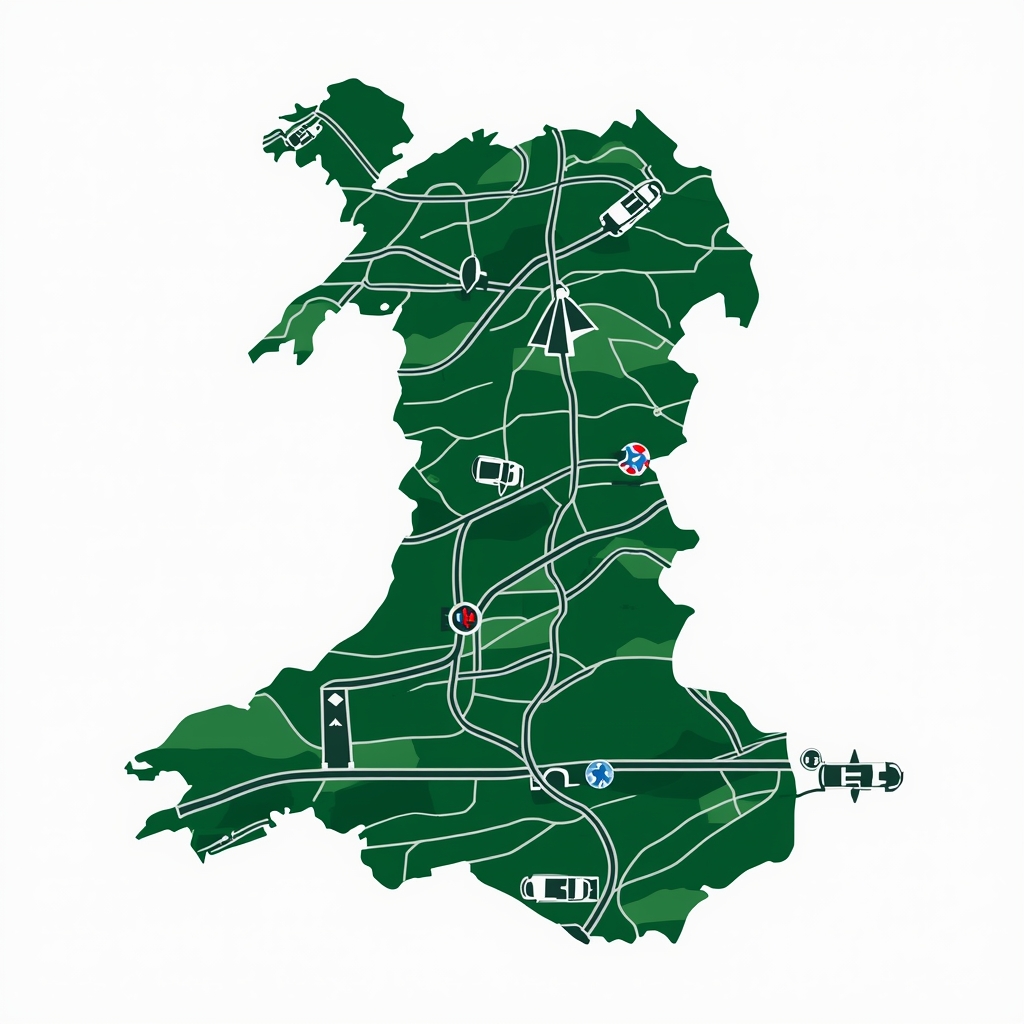
in Wales 2026

in Scotland 2026
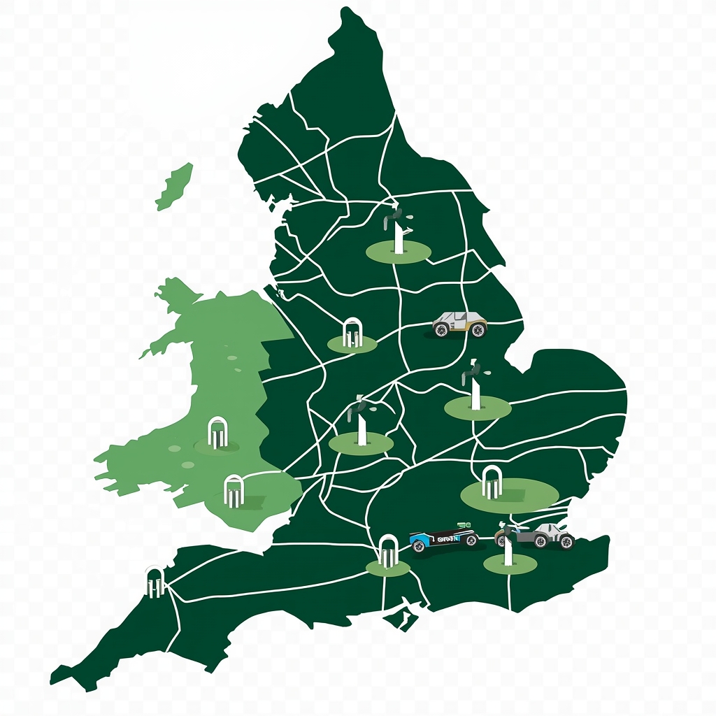
in England 2026

Black Spot 2026
The full UK picture
More nations and combined analyses are in progress. All reports will remain free to access.
Planned
Northern Ireland
A postcode-level analysis of EV infrastructure risk across Northern Ireland, covering the unique cross-border charging dynamics with the Republic of Ireland and the distinct funding landscape.
Planned
GB Summary
A combined Great Britain analysis comparing risk profiles, infrastructure gaps, and funding mechanisms across all three nations, designed for operators and policymakers working at a national scale.
The data behind the reports
EVInsight is a national postcode-level data intelligence platform built and operated from Wrexham, Wales. The platform scores every active UK postcode across 57 factors using data sourced exclusively from government and statutory bodies.
All source data is licensed under the Open Government Licence v3 or equivalent. Every risk score is reproducible, auditable, and defensible. EVInsight is an ICO Registered Data Controller (ZC106985).
The platform provides API access to risk scores, infrastructure data, deprivation indices, flood risk, and collision data at postcode level — designed for charge point operators, insurers, local authorities, and property platforms.
API Access
Integrate postcode-level EV risk data directly into your platform. Sub-second response times. Full GB coverage.
Bespoke Analysis
Commission a custom data briefing or area-specific analysis for your organisation or client.